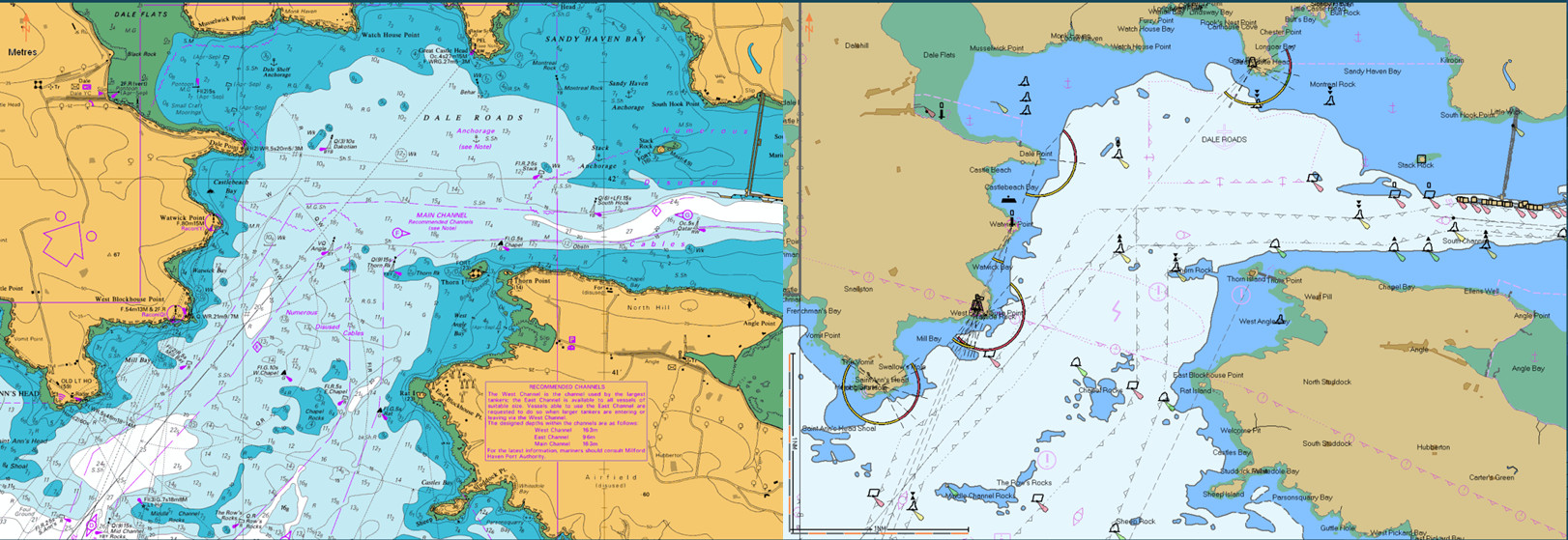
ECDIS Generic 1.27 – Module 4
Principle Types of Electronic Charts – Chart Formats
Nautical charts are special purpose maps specifically designed to meet the requirements of marine navigation, showing amongst other things, depths, nature of bottom, elevations, configuration and characteristics of coast, dangers and aids to navigation. An Electronic Chart is a representation of hydrographic/topographic information in a digital electronic form. There are two main types of official electronic chart data:
- Electronic Navigational Chart (ENC)
- Raster Navigational Chart (RNC).

